Work Package 4: Indicators and Thresholds
TThe overarching goal of WP4 is to systematically and comprehensively assess the range of water indicators (and their interactions). Therefore, SOS-Water will explore the range of representative water indicators used to assess the different dimensions and stress zones within the water system – ranging from environmental processes and biodiversity to economic impacts, food security, and distributional and social implications. This will be the foundation for a comprehensive investigation of boundaries representing different risk levels associated with individual indicators based on stakeholder preferences. WP4 includes 4 tasks.
The objectives include:
-
Explore Current Indicators: Analyze the spatiotemporal parameters and information sources covered by state-of-the-art indicators and identify existing gaps.
- Propose Innovative Indicators: Develop new indicators to address the identified gaps.
- Develop a Framework: Create a framework to build a system of indicators and meta-indicators to enhance the assessment of water resources and demands.
- Apply Systems of Indicators: Implement the developed systems of indicators in case studies.

Explanatory video for Work Package 4 with WP-leader Manuel Pulido Velazquez from Universitat Politecnica de Valencia in Spain
Task 4.1: Assessment of Current Indicators and Identification of Indicator Gaps (M1-M12)
-
Lead: UPV
- Participants: POLIMI, IIASA
- Description: Conduct an extensive review of past and ongoing research on water resources, demands, and indicator assessment. Characterize existing indicators by spatial and temporal scales, parameters used, and information sources applied. Identify gaps in these elements that result in information deficiencies. The outcomes feed into Deliverable D4.1.
Task 4.2: Definition of Innovative Indicators to Cover the Gaps Identified (M13-M24)
-
Lead: UPV
- Participants: POLIMI
- Description: Address the gaps identified in Task 4.1 by defining innovative indicators. These will be specified according to spatial and temporal aggregations, information sources, and probability distribution functions. Preliminary thresholds will be established based on the relationship between the indicators and the status of the associated variables. The outcomes feed into Deliverable D4.1.
Task 4.3: Development of a Framework to Build Systems of Indicators to Improve Water Resources and Demands Assessment (M13-M30)
-
Lead: POLIMI
- Participants: UPV
- Description: Combine individual indicators from Task 4.1 and defined in Task 4.2 in a two-step hierarchical process. First, aggregate individual indicators for each category (e.g., surface resources) into a single meta-indicator. Then, combine meta-indicators into a joint meta-indicator for resources and demands. Explore multivariate aggregation mechanisms such as FRIDA-based aggregation, AI-based aggregation, and UNESCO IHP CRIDA. The outcomes feed into Deliverable D4.2.
Task 4.4: System of Indicators for the Case Studies (M25-M48)
-
Lead: UPV
- Participants: IIASA, UU, POLIMI, FVB-IGB, NIVA, GeoEcoMar, SIWRP
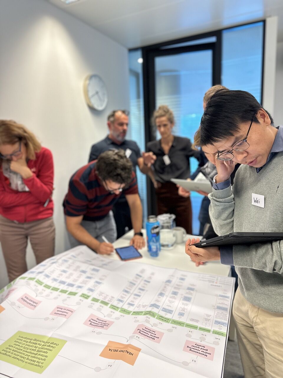
- Description: Apply the outcomes of Task 4.3 to SOS-Water case studies, considering relevant meteorological and hydrological processes. Engage in a co-development process with users, managers, and stakeholders to select individual indicators, thresholds, and aggregation processes to produce meta-indicators for resources and demands. The outcomes feed into Deliverable D4.3.


Keep In Touch