DANUBE CASE STUDY SITES
The Danube area includes two sites that will be studied in the framework of the SOS-Water project:
- the snow/ice-dependent Alpine catchments in the Upper Danube region, which are subject to changing snowmelt and glacier melt due to climate change and the resulting impacts on ecosystems and hydropower production; and
- the global delta, which faces a multitude of challenges in terms of water quality, groundwater management, biodiversity, and climate change.

Explanatory video for the Danube Basin Case Study Site with Mikhail Smilovic and Sylvia Tramberend from the International Institute for Applied Systems Analysis in Laxenburg, Austria
Danube River Basin
The Danube, the second longest river in Europe, stretches approximately 2,850 km from its source in the Black Forest Mountains in Germany to where it flows into the Black Sea. Its vast basin (approximately 79,000 km2) extends into the territories of 19 countries, making it the most international river basin in the world. Today, the Danube is a symbol of European unity and cooperation. This river is subject to both floods and droughts. The Danube is home to diverse wildlife, including sturgeon, otters, and rare birds like the white-tailed eagle and serves as a vital energy source and transportation artery for goods and people.
Floods in the Danube can be caused by heavy rainfall, melting snow, or a combination of both. When the river’s water level rises above its banks, it can cause extensive damage to surrounding areas. There have been several major floods in the Danube Basin in recent years, including in 2002 and 2013. These floods caused widespread damage to infrastructure, homes, and agriculture and resulted in significant economic losses.
During a drought, water levels can drop significantly, affecting navigation, power generation, and water supply for agriculture and drinking. Droughts can also lead to the deterioration of water quality due to higher concentrations of pollutants and reduced dilution of wastewater11. Recently, the Danube has experienced several droughts, including a severe drought in 2012 that affected large parts of the region. This drought was caused by a combination of low rainfall and high temperatures, which reduced water levels in rivers and lakes and increased water demand from agriculture and industry.
Climate change is expected to exacerbate the frequency and intensity of floods and droughts in the Danube basin. Therefore, the countries in the region will benefit from collaborating to develop strategies for managing water resource opportunities and reducing the risks. This includes improving early warning systems, implementing flood and drought resiliency measures, and promoting sustainable water use practices.
Upper Danube
The upper reaches of the Danube begin at the river’s source and extend to the Carpathian Mountains near Bratislava, Slovakia. This section is characterized by high flow velocities and low temperatures and is influenced by a glacial-naval flow regime. Compared to the middle and lower reaches of the river, the Upper Danube is highly altered by dams, navigation channels, and bank constructions for flood protection11. The geographical diversity of the Upper Danube Basin results in the formation of different ecological habitats along that river’s course, including alpine meadows, wetlands, forests, and riparian zones, all of which support a rich biodiversity.
The volume of water resources generated within the Upper Danube Basin is substantial, with an average annual discharge of around 1,700 m3/s. However, the consumptive demand for water resources, including irrigation, hydropower generation, industrial processes, and municipal water supply, poses a significant challenge in the region.
Climate change impacts, reduced water provisions, loss of river connectivity, and flood risks all present significant ecological and socio-economic challenges to the Upper Danube Basin. Achieving good status for water bodies while ensuring the sustainable use of water resources requires careful planning and implementation of effective measures, which can be accomplished through collaborative efforts among stakeholders, government authorities, and the public.
Danube Delta
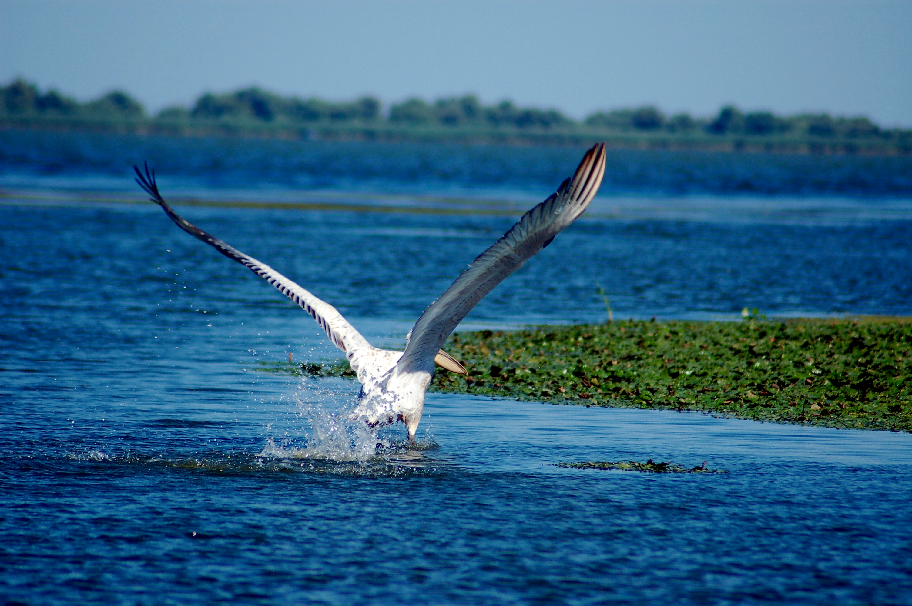
The Danube Delta is a unique and ecologically rich region, formed on the eastern end of the Danube River, where it separates into three main branches: the Chilia, Sulina, and Sfântu Gheorghe, before flowing into the Black Sea. It is one of the largest and best-preserved river deltas in Europe, covering an area of approximately 4,150 km2. A network of channels, lakes, marshes, brackish lagoons, sandy spits, and extensive reed beds subject to tidal changes, saltwater intrusion, and seasonal variations in water levels characterizes the Delta. These complex hydrological dynamics form a diverse and dynamic ecosystem that sustains a high biodiversity, supporting over 300 bird species and a diverse range of fish species, amphibians, reptiles, and mammals. This rich biodiversity has earned it the status of a Biosphere Reserve and a UNESCO World Heritage site.
The Danube Delta is a natural water purification system, filtering and retaining sediments and pollutants carried by the river before they reach the Black Sea. It plays a crucial role in maintaining water quality and mitigating the impacts of human activities upstream. The Delta also provides essential ecological services, including flood regulation, nutrient cycling, and carbon sequestration.
However, the Delta faces numerous challenges. Human interventions, such as drainage for agricultural purposes, dredging for navigation, and unsustainable and illegal fishing practices, have impacted the balance of the Delta. These activities have led to habitat loss, altered hydrological regimes, and decreased species abundance. Climate change poses additional challenges to the Danube Delta. Rising sea levels, increased frequency of extreme weather events, and changes in precipitation patterns can influence the hydrology and salinity of the Delta, potentially affecting its ecosystems and biodiversity.
Explanatory video for the Danube Delta Case Study Site with Sabin Rotaru from Geoecomar in Bucharest, Romania


Keep In Touch